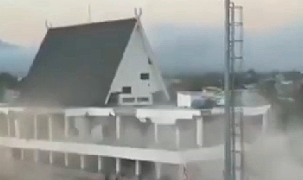
A strong 7.7 magnitude earthquake struck eastern Indonesia on the morning of August 15, 2026, causing considerable damage and leaving a trail of deaths in the region. The tremor, which led authorities to issue a tsunami warning and mobilize the coastal population, was quickly registered and accompanied by aftershocks, generating great concern in local communities. Mix Vale follows the repercussions of the disaster, showing videos that circulate on social media and highlight the strength of the earthquake.
Details of the tremor and aftershocks
The United States Geological Survey (USGS) reported that the epicenter of the earthquake was located on the north coast of Flores Island, about 68 kilometers northwest of the city of Ende. The main tremor occurred at around 5:58 am local time, at a relatively shallow depth of 10 kilometers, a characteristic that increases the effects on the surface. After the initial event, the area was hit by at least three significant aftershocks, including one with a magnitude of 6.1 and others of 5.6 and 5.9, intensifying instability and risk for buildings and residents in the region. The shallow depth of the main earthquake increases the propagation of seismic waves, resulting in more intense tremors with a greater capacity to cause damage on land.
Images of the impact and tsunami warning
Social media quickly filled with images and videos showing despair and destruction. One of the most shocking records shows the moment in which a terminal in a port area partially collapses in Maumere, on Flores Island, while people run through the streets in search of safety. The Indonesian Meteorological, Climatological and Geophysical Agency (BMKG) reacted promptly, issuing a tsunami warning due to the earthquake potential. Coastal communities received immediate guidance to stay away from beaches and riverbanks, seeking refuge in higher places to protect themselves from possible waves. The following record shows the level of panic and the consequences of the shock:
Monitoring and removing the alert
Indonesian authorities maintained close monitoring of the ocean situation and seismic activity in the immediate aftermath of the quake. The Indonesian Meteorological, Climatological and Geophysical Agency (BMKG) closely monitored sea level gauges for any changes that could confirm the formation of a tsunami. Shortly after issuing the warning, the agency confirmed that the earthquake generated only small waves, with a maximum height of approximately 1 meter, which allowed the tsunami warning to be quickly withdrawn. This agility in response was crucial to avoid unnecessary panic and coordinate the safety of the population.
Damage observed in the region
Local press reported extensive structural damage in several cities close to the epicenter. Homes, hotels and buildings were seriously affected, with reports of partial collapses and significant cracks. Photos released by news agencies show damaged buildings in Ruteng and homes that completely collapsed, highlighting the strength of the earthquake and the vulnerability of buildings in the region. The loss of basic infrastructure and the need for temporary shelters quickly became priorities for rescue and relief teams.
Indonesia and the Pacific Ring of Fire
Indonesia, an archipelago made up of more than 17 thousand islands, is located in one of the regions with the greatest geological activity on the planet, known as the “Pacific Ring of Fire”. This vast area is characterized by the intense interaction between different tectonic plates, which causes frequent earthquakes and volcanic eruptions. The country’s geographic position makes it extremely susceptible to natural disasters, requiring a robust monitoring system and emergency protocols. The occurrence of this 7.7 magnitude earthquake is a constant reminder of the seismic risks that the local population faces daily. The geological complexity of the region requires that authorities and the population are in a constant state of readiness for events such as the one recorded.
Relief efforts and attention from authorities
Faced with the impacts of the earthquake, relief efforts were initiated immediately to provide assistance to victims and assess the extent of the damage. Emergency teams are working to rescue possible injured people and ensure the safety of the most affected areas. Local authorities reinforced the importance of the population remaining vigilant, especially in relation to possible aftershocks, and following all official instructions. Continuous monitoring of seismic activity and coordinated response are essential to minimize future risks and support the recovery of disaster-stricken communities.