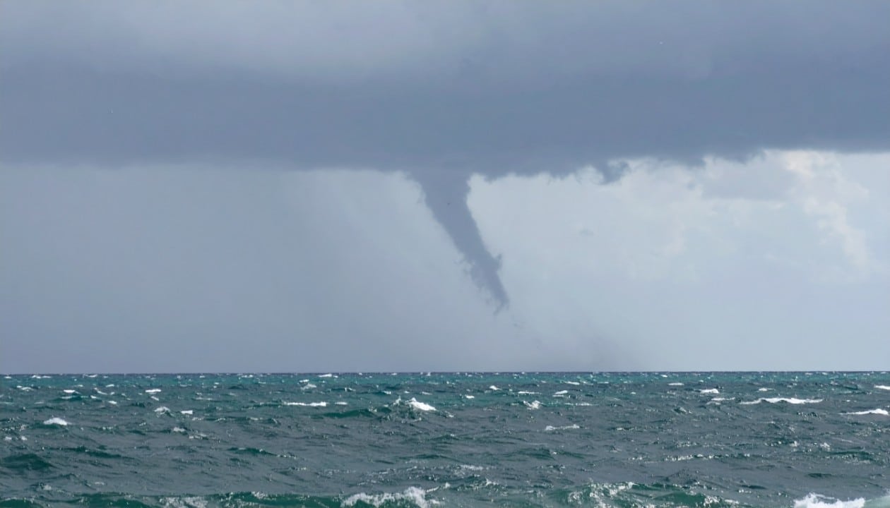
A new extratropical cyclone is about to develop in the southern region of Brazil from July 19, with the expectation of causing strong storms and gusts of wind that can reach up to 100 km/h.
According to forecasts by meteorological experts, this atmospheric phenomenon will result in significant volumes of rain across Rio Grande do Sul, Santa Catarina and Paraná.
A current of freezing air will accompany the meteorological system, contributing to a sharp drop in temperatures in these three federative units.
What is the extratropical cyclone formation timeline?
The climate instability will begin to intensify between the night of July 19th and the early hours of July 20th, covering the area between Argentina and Paraguay. As early as dawn on July 20th, a region of low pressure will already be present over the Rio Grande do Sul territory.
Given this situation, the pioneer locations to be impacted by the effects of the cyclone will be those in the West, the Missões region and the Central part of Rio Grande do Sul.

As the day progresses, unstable weather conditions will move to Campanha, the South, Southeast and the metropolitan area of Porto Alegre.
As the phenomenon moves to the Southeast, the cold front connected to it will gain organization. On the afternoon of July 20, the first storms are forecast for the North and Serra do Rio Grande do Sul, in addition to the West of Santa Catarina and the West and Southwest regions of Paraná.
At the same time, it is estimated that winds with gusts of up to 75 km/h will blow in the West, in Missões, in the North and Serra do Rio Grande do Sul, in the Midwest of Santa Catarina and in the south of Paraná. During the night, areas of instability will reach the central portion and the south of Santa Catarina, and also the south of Paraná.
Meanwhile, the cold air mass will intensify, causing a sudden drop in thermometers in Rio Grande do Sul, the Midwest of Santa Catarina and the West and Southwest regions of Paraná. This period will be characterized by marked cold, still consistent with the winter period, and the cyclone will begin to move away from the coast on July 21st.
Even with the system moving away, the danger of wind gusts between 70 and 100 km/h will persist in the East and Northeast of Rio Grande do Sul, in the East of Santa Catarina and in the East of Paraná throughout July 21st.