Coastal Kelvin wave approaches California with rising ocean waters
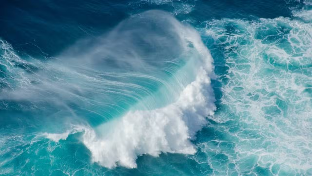
A coastal Kelvin wave driven by the El Nino climate pattern is advancing across the Pacific toward California, bringing projections of ocean levels rising up to 12 inches above normal. The surge is expected to maintain elevated baseline water levels along the coastline from late September through October 2026, altering conditions across major coastal population centers.
Meteorologists tracking the movement warned that while the submerged surge does not create crashing surf on its own, it significantly elevates the launchpad for seasonal high tides and incoming autumn storm systems. “So far this summer, what we’ve been seeing is that the actual water levels have been running about six inches above what the predicted water levels have been,” said Stefanie Sullivan, lead meteorologist at the National Weather Service in San Diego.
Read also: Extreme Category 5 hurricane Polo with 165 mph winds intensifies near Mexico, driven by El Niño
Subsurface mechanics and movement along the California coast
Unlike conventional surface swells generated by local winds, a coastal Kelvin wave acts as an expansive underwater pulse of warm water that travels slowly northward after reaching the Americas. The system moves at a speed of approximately 6 mph, suppressing the normal upwelling of cold ocean water and trapping a deep layer of warmer water against the continental shelf for several consecutive weeks.
Weakened trade winds across the equatorial Pacific initially release massive volumes of warm water eastward from Indonesia and Micronesia toward the equator. When that thermal energy hits the South and Central American coastlines, it bends northward as an oceanically trapped wave. Meteorologist Ryan Shoptaugh, who contributed to the graphical tracking models, noted that the energy propagates continuously poleward, directly influencing harbor gauges and shoreline dynamics across thousands of miles of coastline.
Keep reading: El Niño reaches historic strength weeks before peak, fueling global extreme weather events
Key measurements and timelines for the Kelvin wave arrival
- Wave speed: approximately 6 mph (10 km/h) as it travels along the Pacific coastline
- Projected sea level rise: 6 to 12 inches (15 to 30 cm) above normal baseline levels
- Initial regional arrival: Southern California coast by Thursday, October 1, 2026
- Secondary regional arrival: San Francisco Bay Area by mid-October 2026
- Baseline summer elevation: 6 inches (15 cm) above predicted levels already recorded
- Prior event frequency: 5 to 6 successive Kelvin waves recorded during the 2015-2016 El Nino

Coastal flooding risks during upcoming King Tides
The principal hazard associated with the wave stems from how elevated ocean levels interact with seasonal astronomical events. When water sits 6 to 12 inches higher than typical baselines, standard high tides reach areas usually spared from inundation, while high surf pushes seawater further inland across low-lying beaches, estuaries, and beachfront infrastructure.
“If we have our water levels already, at baseline, higher than what they normally are, then, especially with our King Tides around Thanksgiving and Christmas, or any high surf events, there’s [a] higher potential that we could see coastal flooding,” Sullivan stated. The warning was first coordinated on September 2, 2026, at 22:01 PDT between the National Weather Service and the Scripps Institution of Oceanography, followed by updated tracking advisories issued on Monday, September 21, 2026, at 12:49 EDT.
Precedents from the 2015-2016 El Nino storm season
Historical data from previous strong El Nino cycles highlights the destructive potential when Kelvin pulses coincide with severe atmospheric patterns. Between 2015 and 2016, a sequence of five to six Kelvin waves struck the West Coast in close succession, coinciding with major atmospheric rivers that generated massive waves measuring up to 57 feet at Point Sur and Point Reyes, resulting in extensive coastal erosion and infrastructure loss.
Learn more: NOAA projects 90% chance of historic El Niño across Pacific
Forecasters note that whether this single wave produces similar coastal destruction remains unresolved. It is not yet confirmed whether the approaching Kelvin wave will directly align with powerful autumn rainstorms or atmospheric rivers, a synchronization that will ultimately decide if coastal communities experience severe structural flooding or merely silent, persistent high tides.
Regional emergency managers and port authorities in San Diego, Los Angeles, and the San Francisco Bay Area will maintain close observation of local tide gauges through October 2026 as the pulse continues its northward transit.