
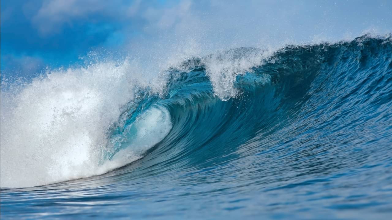
A planetary-scale oceanic Kelvin wave energized by an intensifying El Niño is advancing toward the California coast and could raise local sea levels by up to a foot over the coming months. The surge of deep warm water threatens to exacerbate high tides, coastal erosion and winter storm flooding across coastal communities.
Atmospheric and marine researchers confirmed that the vast mass of warm water crossed the equatorial Pacific after trade winds weakened and reversed, hitting the northern tip of South America in late August 2026 before branching northward toward the western United States. Oceanographers expect the wave front to make contact with California shores in early October 2026, trapping warm water along the coastline throughout the winter season and into early 2027.

NASA JPL and NOAA track the warm water mass across the Pacific
The natural phenomenon develops across thousands of miles along the equator when typical trade winds blowing from east to west weaken or switch direction. Without constant wind pressure holding warm surface water against the western Pacific basin, an enormous volume of heat sloshes eastward toward the Americas. Unlike typical surface waves generated by local winds, Kelvin waves are internal ocean features that stretch across entire ocean basins without breaking on shorelines.
Severine Fournier, a research scientist studying ocean circulation at NASA’s Jet Propulsion Laboratory, explained how the geometry of the continents directs the wave energy along the shoreline. “You can follow them along … we see the higher sea levels along the equator, and when the wave reaches the coast of South America, it cannot continue to go eastward. So it goes north and south,” Fournier said, describing the tracking data collected as the mass moved eastward.
Nate Mantua, a research scientist at the National Oceanic and Atmospheric Administration Southwest Fisheries Science Center, noted that the displacement represents a fundamental shift in equatorial ocean dynamics. “When the wind stops blowing or weakens, the force that’s holding that pile of water in place goes away, so that water surges or sloshes back towards California,” Mantua stated. “We can predict a lot of the impacts, but not all.”
Projections and historical baselines for California sea levels
Projections regarding the precise elevation of the ocean surface vary across scientific estimates compiled during the event. While primary models indicate local waters could rise by up to 1 foot (30.48 cm), other comparative analyses indicate temporary increases ranging between 5 and 10 inches (12.7 to 25.4 cm). This temporary pulse will sit directly atop baseline sea levels that have already risen approximately 8 inches (20.32 cm) along the California coast over the past century.
Mike Jacox, a research oceanographer at the NOAA Southwest Fisheries Science Center, pointed out that the physical elevation of the ocean operates as an elevated foundation for winter squalls. “It’s a wave unlike the ones you’re used to at the beach. They don’t crash, you can’t really seem them come by,” Jacox stated. “This winter, we’re supposed to have some really high tides around Thanksgiving and Christmas. If you also have more storms, then you have storm surge. It’s just like you’re raising the floor on all that stuff that happens.”
Key dates and emergency milestones for coastal winter preparations
State agencies and scientific monitors have established a timeline of physical benchmarks and response actions to track the progression of the storm season:
- Late August 2026: The equatorial Kelvin wave made landfall at the northern tip of South America before deflecting north toward North America.
- Monday, September 28, 2026: Official oceanographic advisories highlighted the impending arrival of the wave front along the United States West Coast.
- Early October 2026: Expected physical arrival of the primary Kelvin wave disturbance along the California coastline.
- Late November 2026: Peak astronomical high tides coincide with the Thanksgiving holiday window.
- Late December 2026: Winter king tide cycle aligns with the Christmas holiday period amid heightened winter storm frequency.
Gavin Newsom declares emergency as coastal agencies issue directives
In response to the converging oceanic threats, California Governor Gavin Newsom declared a statewide state of emergency to expedite winter storm readiness. The executive action allows state departments to pre-position heavy highway clearance machinery, mobilize specialized snow-removal fleets along key mountain transit corridors, cut administrative delays for emergency contracting, and place the California National Guard on standby for rapid search-and-rescue deployments.
Simultaneously, the California Coastal Commission issued formal guidance advising municipal planners, private property owners, and coastal residents to inspect vulnerable beachfront assets immediately. Property owners have been urged to clear drainage networks, reinforce compromised sea walls, and repair existing structural vulnerabilities before the arrival of intense winter precipitation and elevated tides.
Kate Huckelbridge, executive director of the California Coastal Commission, emphasized that tidal timing dictates the severity of shore destruction. “A key observation from past El Niño events is that the most damaging storms are often those that coincide with the highest tides,” Huckelbridge stated. “Storms that peak during high tides are far more likely to cause damage than if the same storm peaked during low tide.”
Historical precedents from 1983, 1998 and 2016 ocean cycles
Scientists evaluate the current Pacific cycle against major historical El Niño events recorded during the winters of 1983, 1998, and 2016. Each of those seasons produced severe coastal erosion, extensive infrastructure damage, and repeated low-pressure storm clusters across central and southern California. However, the current El Niño cycle features oceanic temperature anomalies projected as the strongest observed in up to 1,000 years, having surpassed historical peak heat marks months ahead of its anticipated seasonal climax.
The exact scope and financial toll of coastal damage remain uncertain because overall destruction depends on whether individual atmospheric river storms align precisely with peak astronomical king tides. Coastal monitoring stations operated by NOAA and regional research institutions will track ocean water heights continuously through early October 2026 as the wave front makes landfall.