
Inmet issues orange alert as developing cyclone threatens southern Brazil

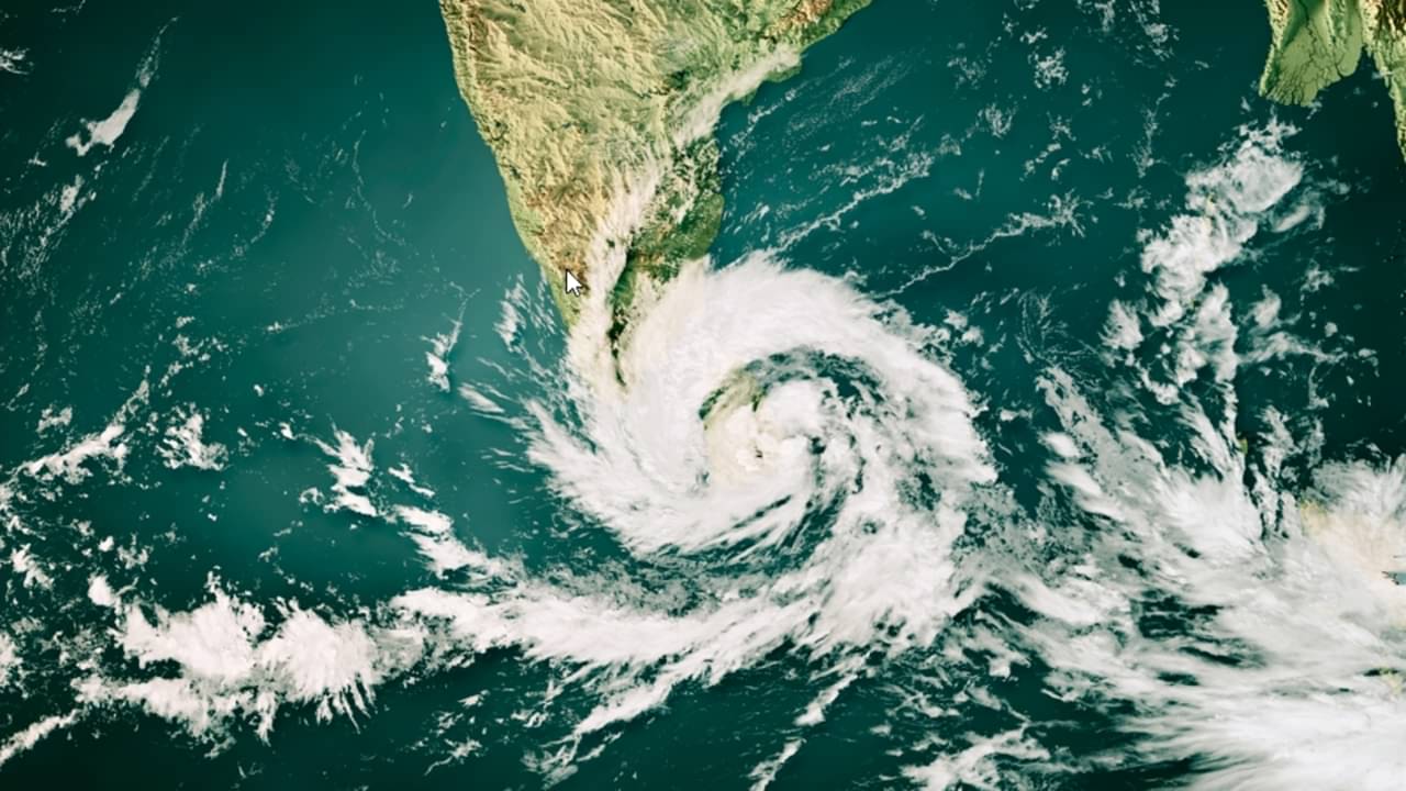
Atmospheric instability driven by an extratropical cyclone developing along the border between Uruguay and Rio Grande do Sul placed southern Brazil on high alert on Tuesday, September 29, 2026. The weather system works alongside an advancing cold front, generating conditions favorable for severe storms, wind gusts reaching 100 km/h, localized hail, downbursts, and isolated tornadoes across rural and urban zones.
Officials from the Instituto Nacional de Meteorologia released an orange-level danger warning covering an extensive corridor of central and southern Brazil. The monitoring zone spans from southwestern Mato Grosso do Sul down to south-central Rio Grande do Sul, encompassing almost every municipality in Santa Catarina alongside 340 cities in Paraná. Daily rainfall totals within the target area are estimated between 50 and 100 millimeters, creating heightened risks of structural damage, downed trees, localized flooding, and electrical grid failures.
Severe weather parameters across the affected states
- Affected regions: Rio Grande do Sul, Santa Catarina, Paraná, and southwestern Mato Grosso do Sul
- Peak wind gusts: up to 100 km/h
- Expected daily rainfall: between 50 and 100 millimeters
- Post-system minimum temperatures: below 5°C along the border of Rio Grande do Sul
- Issuing authority: Instituto Nacional de Meteorologia
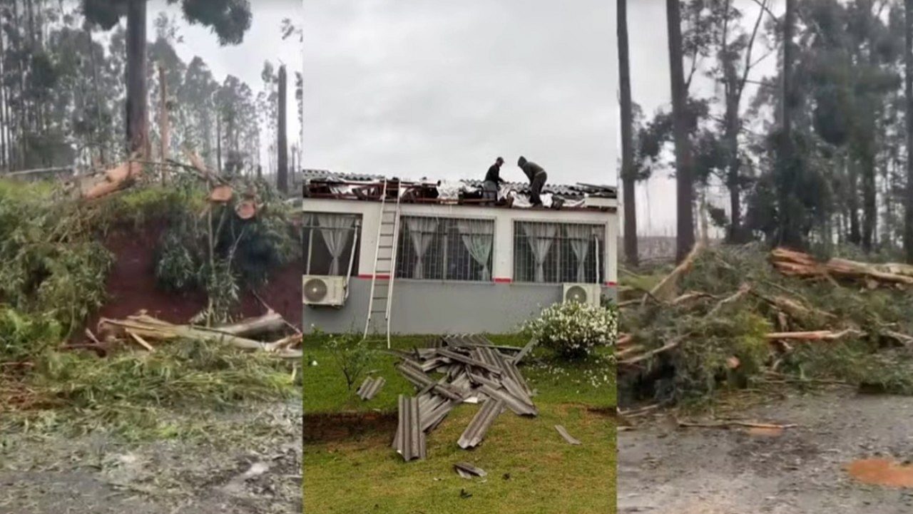
Intense storm activity spurred the development of a dramatic shelf cloud over several municipalities in the central-western region of Santa Catarina on Tuesday morning. Residents throughout Curitibanos, Caçador, and São Cristóvão do Sul captured images of the low, dense cloud formation as it advanced ahead of severe squalls. Known technically as an arcus cloud, this structure travels along the gust front of severe thunderstorms and indicates strong, descending downdrafts.
Specialists noted that an atmospheric trough, representing an elongated corridor of low atmospheric pressure in the middle troposphere, accelerated the northward transport of humid air before the cyclone organized. The final days of September 2026 conclude a monthly cycle characterized by repeated cyclogenesis events along Brazil’s southern coastline. These consecutive disturbances have kept soil saturation levels elevated across several major river basins.
Agricultural risks and five-day rainfall projections
Meteorological projections over the next five days indicate cumulative precipitation exceeding 50 to 70 millimeters across vast stretches of the three southern states. Numerical guidance from Meteored suggests that downpours will intensify further over agricultural sectors in northwestern Rio Grande do Sul, western Santa Catarina, and across Paraná, where accumulated moisture may surpass 100 millimeters during that five-day window.
Keep reading: Inmet confirms Moon reaching 50% visibility this September
Elevated soil moisture levels pose substantial challenges for rural producers, particularly across commercial soybean acreage. Unbroken precipitation rounds combined with strong winds can prevent heavy machinery from entering fields, postpone summer crop sowing schedules, and cause early lodging in developing plants.
Threats of tornadoes and microbursts remain tied to the movement of isolated supercells embedded within the system. Forecasters emphasized that such localized convective phenomena cannot be pinpointed days in advance, as their small horizontal scale and rapid evolution allow detection on Doppler radar networks only minutes before ground impact.
Pre-frontal heatwave contrasts with incoming polar air
While southern jurisdictions prepare for destructive gusts and squalls, interior sectors of the Central-West and Southeast remain locked under a hot, dry air mass through Wednesday, September 30, 2026. Maximum temperatures are forecast to hit 40°C in portions of Mato Grosso, Goiás, and the Matopiba farming zone prior to the arrival of the cold front’s leading edge.
Learn more: NOAA projects 90% chance of historic El Niño across Pacific
Rain is expected to begin pushing into sectors of São Paulo, Mato Grosso do Sul, Mato Grosso, and Rondônia by late Wednesday night, initially bringing localized totals near 30 millimeters. In the following days, the main moisture axis will shift across southern São Paulo and Mato Grosso do Sul, producing five-day accumulations between 100 and 150 millimeters that could disrupt regional transport and storage networks.
Behind the passing extratropical low, a polar air mass will move over Rio Grande do Sul before spreading toward Santa Catarina and southern Paraná. Overnight low temperatures are projected to dip below 5°C along the international border between Rio Grande do Sul and Uruguay, bringing a minor risk of frost to low-lying pastures before temperatures rebound heading into the weekend.
Extended forecast models suggest that conditions will only settle in Santa Catarina starting on October 9, 2026. On that same date, fresh rounds of widespread precipitation are favored to return to Rio Grande do Sul, with additional projected accumulations reaching 150 millimeters.





