
Met Office seasonal forecast excludes autumn polar vortex freeze despite record El Niño
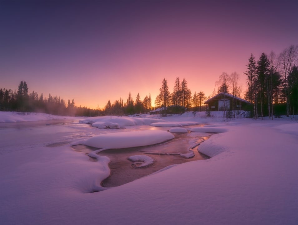
Meteorologists at the Met Office confirmed that an early arrival of severe Arctic conditions driven by the polar vortex remains highly improbable across the United Kingdom during the autumn months. Forecasters indicated that while the ongoing super El Niño exerts significant disruptive pressure on high-altitude wind currents, any consequential drop toward sub-zero temperatures or heavy snowstorms is far more likely to remain deferred until the second half of the European winter season.
Official guidance released on Sunday, 4 October 2026, followed widespread public speculation regarding an imminent autumnal deep freeze across the British Isles. Current observational models indicate a contrasting pattern for the coming weeks, dominated by persistent rain bands, brisk westerly airflow, and ambient temperatures tracking near or modestly above long-term climatological averages.
Unprecedented Pacific ocean warming reshapes global circulation patterns
Oceanographic monitoring stations across the equatorial Pacific report sea surface temperature anomalies that exceed every previous benchmark recorded in modern observational history. This extraordinary thermal accumulation in the marine boundary layer alters planetary atmospheric dynamics, creating downstream ripples that affect how cold Arctic air masses circulate across the Northern Hemisphere.
Professor Adam Scaife, head of long-range prediction at the Met Office, highlighted the historical scale of the developing event during an operational briefing. “We have been signalling for months that the developing El Niño will be an unprecedented event. The fact that it has already exceeded previous records, with several weeks to go before it peaks later this year, shows the enormity of this El Niño. Scientists are still assessing whether the impacts will be in proportion to its magnitude, but we are already seeing expected effects worldwide,” Scaife said.
Thermal disturbances at this magnitude frequently disturb the high-altitude ring of circumpolar winds situated above the Arctic Circle. A substantial deceleration of the surrounding jet stream can initiate a Sudden Stratospheric Warming event, which displaces Arctic reservoirs southward into North America and western Europe. Nevertheless, computational trajectory models indicate that the conditions required for such a disruption to influence the surface weather of the British Isles will not consolidate until January at the earliest.
Follow: Global leaders converge on New York to confront climate crisis amidst extreme weather
Key milestones for equatorial ocean heating and British seasonal weather
- 22 September 2026 — Met Office technical bulletin certifies that the current El Niño has become the strongest event ever recorded in observational history.
- 4 October 2026 — National forecasters publish seasonal guidance ruling out autumn polar vortex disruptions across the British Isles.
- 1 December 2026 — Marine surface temperatures approach their projected annual peak as the meteorological boreal winter begins.
- 1 January 2027 — Onset of late winter conditions establishes the primary atmospheric window for potential Arctic air displacements into northwestern Europe.
British Gas issues preventive maintenance steps for domestic households
National energy supplier British Gas published winter readiness guidance for households across England, Scotland, and Wales, anticipating volatile weather transitions later in the cold season. The utility provider encouraged proactive property management to minimize domestic disruption from late-season snowfall, frozen pipes, and rapid temperature fluctuations.
Engineers recommend that homeowners verify external insulation, wrap exposed plumbing runs before freezing thresholds arrive, and identify the location of their internal stopcock to quickly isolate water supplies during emergencies. Residents were also encouraged to assemble a non-perishable pantry containing essential supplies, flashlights, and shelf-stable sustenance capable of supporting occupants for at least three full days.
Recorded UK climate benchmarks and global temperature outlook
- 4th — historic rank achieved by September 2026 among the warmest Septembers recorded across the United Kingdom.
- 3/4 — approximate geographic extent of English territory subject to prolonged agricultural drought conditions through summer 2026.
- 1/3 higher — precipitation volume recorded across Scotland during September compared against standard baseline averages.
- +1.5 C — temporary increase above pre-industrial global temperature baselines projected to be sustained through 2027.
Historical parallels with the 2015 event and long-term planetary warming
The atmospheric behavior of 2026 draws direct comparisons to the intense super El Niño episode observed across 2015 and 2016. That prior phase triggered repeated cyclonic storms across the United Kingdom, culminating in severe infrastructure damage during Storm Katie, which brought sustained gusts reaching 160 km/h across southern England during the Easter weekend of 2016.
Atmospheric scientists note that enormous quantities of thermal energy stored within the upper ocean layer are released into the global air column over prolonged periods. This latent heat transfer typically manifests in atmospheric temperature spikes that reach maximum global expression in the calendar year following the peak of the Pacific warming phase.
Read also: NOAA projects 90% chance of historic El Niño across Pacific
Met Office science fellow Dr Nick Dunstone confirmed that this cumulative mechanism will alter international climate measurements over the next eighteen months. “During large El Niño events, significantly more heat is released from the ocean to the atmosphere, leading to an increase in global average temperature, particularly in the calendar year following the winter peak of the El Niño,” Dunstone said. “Hence, 2027 is very likely to replace 2024 as the warmest year on record and be yet another year to temporarily exceed plus 1.5 C above the pre-industrial period”.
National weather monitors emphasize that no conclusive signs of Sudden Stratospheric Warming or definitive Arctic blocking patterns have formed over the North Atlantic basin. Operational meteorologists continue real-time satellite surveillance of equatorial currents and stratospheric airflow to identify any structural changes ahead of the 2027 winter transition.


