El Niño phenomenon advances faster and chances of super warming increase

El Niño is developing faster than predicted by tropical Oceano Pacífico. Conforme update released by NOAA’s Centro of Previsão Climática, the probability of it reaching historically strong intensity known as “Super” El Niño has increased significantly. The odds have gone from 1 in 4 in the previous month to approximately 1 in 3 in the most recent intensity projections.
The average water temperature in the equatorial Pacífico is just below the Celsius threshold of 0.5 degrees above average. Previsões indicate that this level will be exceeded next month. Essa change marks a reversal from the previous update, which signaled neutral conditions until June. Há 2 in 3 chances that El Niño will peak strong or very strong by fall or winter.
A mass of hot water accelerates the phenomenon
Vasta A lot of warm water has accumulated in the depths of the central and eastern equatorial Pacífico in recent weeks. Essa water tends to rise to the surface, initiating and intensifying El Niño continually thereafter. Michelle L’Heureux, the scientist leading the El Niño and La Niña forecasts at the CPC, explains that a stronger phenomenon is more likely if changes in the atmosphere remain synchronized with changes in the ocean during the summer.
The weakening of winds near the equator, occurring simultaneously with rising ocean temperatures, intensifies the effect. Centro of Previsão Climática records that there is still considerable uncertainty regarding the maximum intensity of El Niño, but the most reliable computational models indicate an exceptionally high potential.
Alguns models suggest that 2026’s Super El Niño could be the strongest on record. Seria the first event of this magnitude since 2015-2016, which holds the record as per NOAA records dating back to 1950. Previous Exemplos include:
- El Niño 1997-1998
- El Niño 1982-1983
- El Niño 1972-1973
Global Impactos in extreme weather
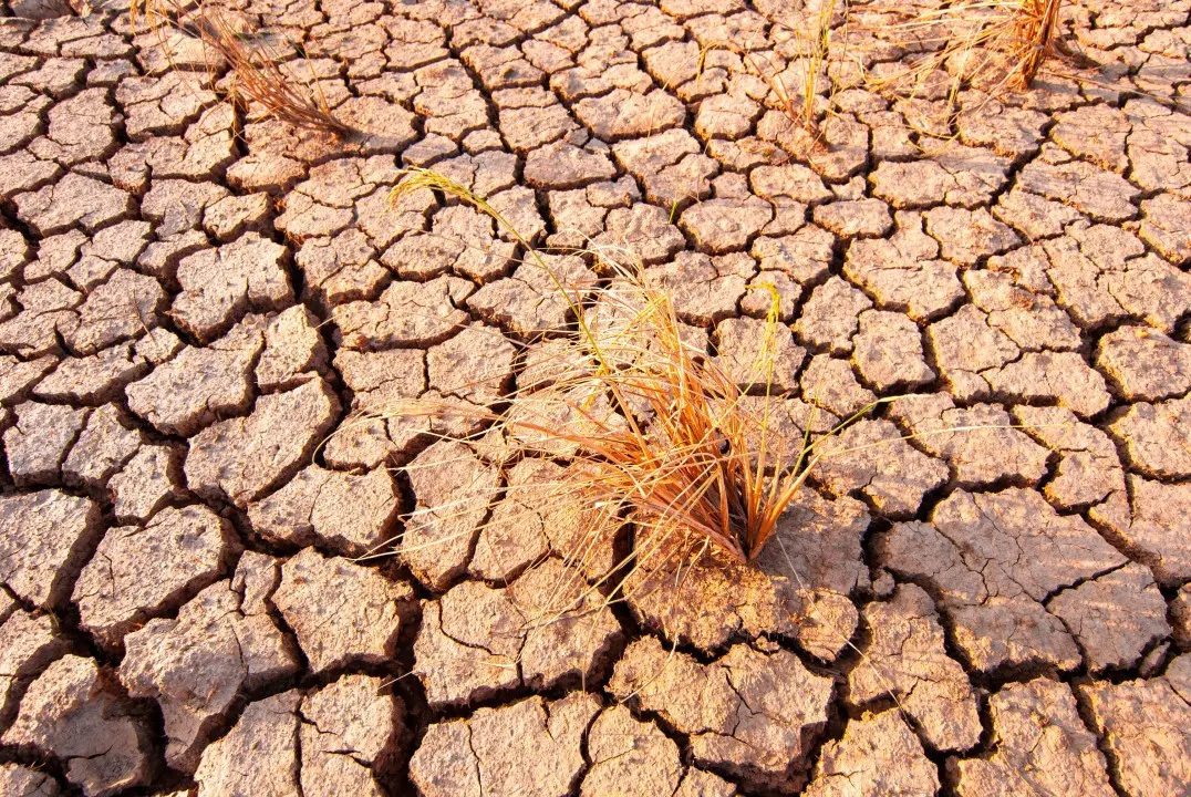
More intense El Niños cause changes in weather patterns that affect different regions of the planet. Secas and heat waves may intensify in some areas, increasing the risk of forest fires and water supply problems. Outras regions face torrential rain and flooding. El Niño’s ripple effects also affect the hurricane season in Atlântico, making it less active while amplifying activity in central and eastern Pacífico.
On a planetary scale, El Niño causes global temperatures, already high due to anthropogenic climate change, to increase even further. Stronger El Niños amplify the probability of these extreme impacts. NOAA pointed out on Monday that it is already “very likely” that 2026 will be one of the five hottest years on record, without even considering the unpredictable warming factor of El Niño.
Forecasts indicate that 2026 or 2027 could become the hottest years on record in Terra. Esse additional warming assumes critical importance in a scenario of accelerated climate change.
Leia Também

Financial analysis indicates that GTA 6 generated US$1 billion in the first hour of pre-sales

George Russell secures second Formula 1 triumph and leads Austrian GP after controlling Verstappen and Antonelli

Air crash in France kills 11 people on parachuting school aircraft
Natural Ciclo of El Niño and its measurement
El Niño occurs approximately every two to seven years and lasts between nine and twelve months. Sua intensity is measured by the elevation of water temperature above average in an area of equatorial Oceano Pacífico, generally peaking in the winter of Hemisfério Norte. Condições from weak El Niño develop when the temperature rises more than 0.5 degrees above average for a prolonged period.
Classificação of intensity according to thermal variation:
- Fraco: 0.5 to 1.0 degrees above average
- Moderado: 1.0 to 1.5 degrees above average
- Forte: 1.5 to 2.0 degrees above average
- Muito strong or “Super”: above 2.0 degrees
Temperatures must be more than 2 degrees above average to be classified as Super El Niño. The increased confidence in forecasts is largely due to the unprecedented amount of warm water that has accumulated in the deep ocean.
Padrões Regional Weather Expectations
Norte from the U.S. to the west of Canadá and Alasca will experience warmer than average winters, although severe cold may occasionally occur. The southern swath of the US tends to be wetter and colder, as a stronger jet stream directs more storms to that region. Hurricane Temporada in Atlântico may experience suppression, while central and eastern Pacífico may see intensified activity.
Additional Impactos include reduced monsoon rainfall in Índia and southeastern Ásia during summer. Caribe faces increased drought. Hot and dry Invernos becomes typical in southern and eastern parts of Ásia. Drought may intensify in the southeast of África during the summer of Hemisfério Sul, between December and February.
Comparação with previous historical events
The 2015-2016 Super El Niño caused severe drought in Caribe as per its reputation. Contudo did not produce the wetter than average winter for which southern Califórnia is known, demonstrating that the effects do not always manifest as expected. Esse precedent illustrates the complexity of global climate interactions during high-intensity events.
Mesmo Although the current El Niño does not reach “super” status, it remains likely to be a strong El Niño. Pesquisadores highlight that stronger El Niños generally have a greater impact on global climate conditions, but the real magnitude of the regional effects remains open until the full manifestation of the event.