

The state of Santa Catarina is preparing for days of intense climate change, according to the detailed forecast for the period starting this Friday (19). A cold front is advancing through the region, promising to bring instability, rain and significant temperature variations over the next five days. The meteorological report, prepared by Fernando Rafael and dated June 19, 2026, at 5:00 am, warns of phenomena that will require the attention of Santa Catarina residents.
Climate change arrives in the state this Friday (19)
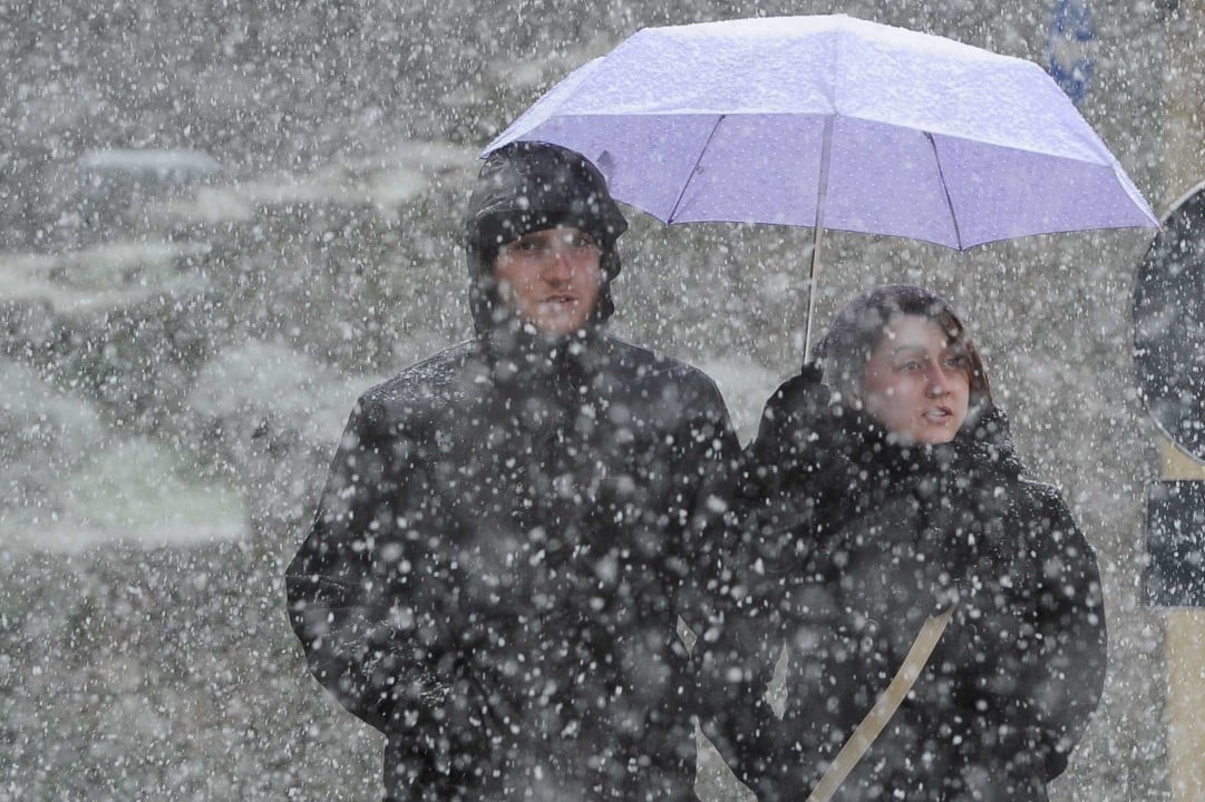
Friday, the 19th, marks the beginning of the gradual change in the weather in all areas of Santa Catarina, driven by the passage of a cold front. The weather system should first penetrate the Far West, West and regions adjacent to the border with Rio Grande do Sul in the morning, extending to other locations between the afternoon and night. Isolated storms are expected, especially in the Greater West, where the risk of situations such as localized flooding, interruptions in the electrical network and roofing is considered low to moderate. Before precipitation, winds coming from the north/northeast may register gusts of 50 to 75 km/h, affecting the Greater West and Southern regions of the state. Temperatures will increase compared to previous days, with values between 4°C and 10°C in the Plateaus and Midwest, and from 10°C to 15°C on the Coast and West. During the afternoon, temperatures should vary between 11°C and 16°C in most of the state, with the exception of the Coast, where they will fluctuate between 18°C and 21°C.
Cold front maintains instability on Saturday (20)
On Saturday, June 20th, the cold front will continue its slow movement over the territory of Santa Catarina. In conjunction with an area of low pressure acting on the coast between Santa Catarina and São Paulo, the conditions will maintain unstable weather, with the possibility of persistent and, at times, intense rain, accompanied by lightning in several areas. The most impacted regions include the South Coast, Greater Florianópolis, Vale do Itajaí, North Coast and Planalto Norte, where the risk of flooding and localized flash floods is low to moderate. In the Southern Plateau, Midwest and extreme south of the South Coast, the day will have many clouds and rain showers interspersed with periods of improvement, while the Extreme West will have sun between many clouds. Daily temperatures should not undergo major changes, with minimums varying between 7°C and 14°C and maximums between 10°C and 18°C, requiring attention when planning outdoor activities due to instability.
The return of stable weather on Sunday (21)
On Sunday, the 21st, a dry air mass will take control of the weather in Santa Catarina, reestablishing climate stability. In the early hours of the morning, light rain is still expected in parts of the coast and the formation of fog and mist in different areas of the state. Throughout the morning, the fogs tend to dissipate and the cloudiness decreases, making room for a predominance of sun and a sunny afternoon in most regions, providing relief after rainy days. At dawn, temperatures should be between 3°C and 8°C in the Grande Oeste and Planaltos, and between 9°C and 14°C on the Coast and Vale do Itajaí. In the afternoon, temperatures will not exceed 10°C/14°C in the Plateaus, and will reach between 17°C/19°C in most other locations. There are no significant weather risks forecast for this day.
Expectations of future changes in the weather in Santa Catarina
The trend for the next few days points to new changes in the state’s climate. On Monday, June 22, the weather will change again in all regions of Santa Catarina, with the advance of a new cold front over the territory. This system will favor the occurrence of isolated storms, which may be accompanied by lightning, gusts of wind and hail. Instability is expected to reach areas close to the border with Rio Grande do Sul between dawn and morning, expanding to other regions throughout the afternoon. On Tuesday, June 23, the cold front will slowly move away, but will still maintain unstable weather with the possibility of light rain in the eastern and northeastern portions of Santa Catarina. A sharp drop in temperatures is predicted, with the return of sub-zero levels in some areas, especially between Tuesday (23) and Wednesday (24), requiring the population to be aware of thermal fluctuations for the new week.