
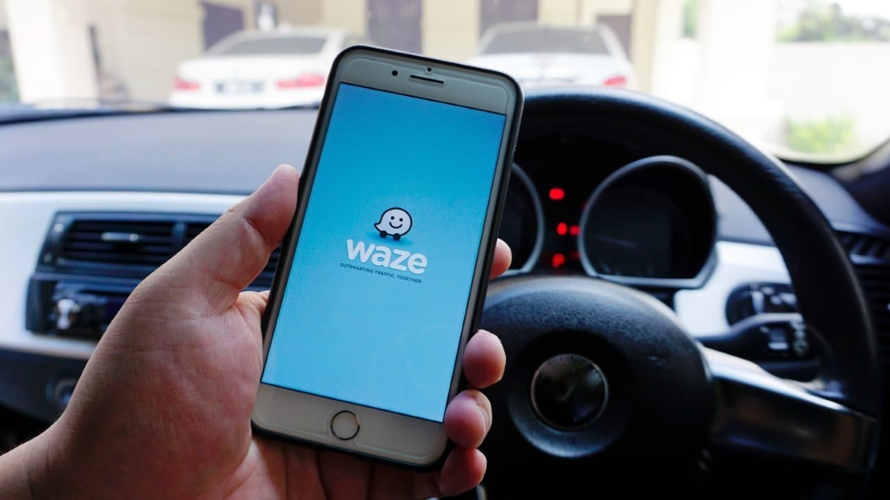
Navigation app Waze has started releasing a new safety tool designed to alert drivers to areas with high crime rates. The platform introduced an unprecedented icon, represented by a figure with a cap and mask, to signal sections with recent records of robberies, thefts and acts of vandalism. The functionality operates in real time and depends on the data provided by the drivers themselves during urban journeys. The central objective of the update is to provide prior information so that users can recalculate routes or adopt immediate preventive measures.
The dynamics of the new feature follow the collaborative model that consolidated the application in the mobility market. Quando a driver witnesses a criminal incident or notices suspicious movement, he records the event directly in the system interface. The visual alert appears instantly to other vehicles traveling towards the same perimeter. Especialistas in road safety assess that anticipating the scenario reduces the vulnerability of car occupants, especially at times of lower traffic or on roads with poor lighting.

Dinâmica operation and validation of warnings on the map
The insecurity notification system has specific mechanisms to avoid visual overload on the screen and guarantee the accuracy of the information. Cada user-generated alert remains active for an initial period that varies between 15 and 30 minutes. If no other driver confirms the risk situation within that time window, the algorithm automatically removes the icon. Caso new reports appear in the same geographic point, the timer restarts and the signage remains visible to the community.
Learn more: Pioneer closes COCCHi navigation app for smartphones after three years of operation
Waze’s artificial intelligence applies strict filters to combat false appointments or prank calls that could disrupt the flow of traffic. The software analyzes the reliability history of the user responsible for the report and cross-references the data with the device’s exact GPS location. If a warning receives multiple objections from drivers who pass by the location without identifying danger, the platform discards the notification. Esse cross-validation process ensures that the map displays only real, active threats.
Existe a clear separation between traditional warnings and the new category implemented by the technology company. Alerts classified as common danger include holes in the road, traffic accidents, vehicles stopped on the shoulder and works on the road. Já, the insecurity marker, focuses exclusively on the physical and property integrity of citizens. Essa distinction allows the driver to quickly understand the type of obstacle ahead and adjust his driving behavior accordingly.
Expansão gradual resource in Brazilian cities
The distribution of the tool occurs in a staggered manner across the country, with priority given to metropolitan regions that record high statistics of traffic crimes. The cities of São Paulo and Rio of Janeiro are among the first locations to receive the update on the servers. Municípios of Rio Grande of Sul, which concentrate a dense and active base of application users, are also part of the initial implementation phase. The company monitors system performance in these capitals to calibrate the sensitivity of alerts before expanding the service.
The batch release process represents a standard practice in the technology industry to avoid systemic instabilities. Muitos drivers still do not see the option on their smartphones, as activation depends on the gradual synchronization of accounts with central servers. Durante During this transition period, users continue to have full access to conventional navigation tools. The official recommendation advises that drivers keep the application updated in online stores to receive new functions as soon as they are available.
Configuração manual and sound alert integration
Full use of the new protection layer requires the user to check notification settings within the software’s main menu. The procedure requires access to the settings section, located under the gear icon, followed by the tab for managing alerts and warnings. Neste virtual environment, the driver needs to confirm that the keys corresponding to dangers and safety are activated for display on the screen.
On the same topic: Police disguised as a bush surprise drivers and issue 74 fines
The platform offers customization options that increase safety while driving in complex urban areas. Recommended settings include:
- Ativação of voice alerts to anticipate dangers without requiring visual contact with the cell phone screen.
- Manutenção of the application volume at audible level over the vehicle’s ambient sound.
- Autorização so that the system automatically suggests alternative routes when faced with roadblocks or risk areas.
The issuance of audible warnings acts as a fundamental resource to minimize distractions while driving. Quando o Waze narrates the approach of a risk zone, the driver gains precious seconds to lock the doors, close the windows and hide electronic devices. The integration between the auditory stimulus and the visual icon on the map facilitates quick decision-making, allowing the driver to keep his attention fully focused on the road and the behavior of other vehicles.
Orientações security and preventive behavior
Identification of the thief icon on the route requires an immediate change in the driver’s posture. The first technical guidance consists of evaluating the feasibility of a safe detour, using the alternative routes calculated by the algorithm. If changing path is not possible, the driver must increase the distance from the car in front to ensure maneuvering space in the event of an emergency. Surveillance over pedestrian movement at traffic lights and intersections must also be increased.
More on this story: Humanity in traffic: accident in Santa Catarina ends with hug between drivers
The insecurity marker works as a psychological trigger that increases the driver’s level of attention in hostile environments. Transparency in sharing criminal data transforms the application into a public utility instrument, benefiting both private drivers and logistics and passenger transport professionals. The tool does not replace overt policing, but adds a layer of prevention based on collective intelligence. The crossing of civil information with geolocation technology consolidates a navigation model that prioritizes the preservation of life in large cities.