

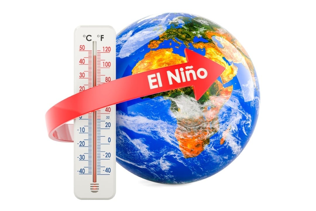
Instituições meteorological monitoring identified consistent signs of a profound thermal change in equatorial waters. The agencies ECMWF, NOAA and Departamento of Meteorologia of Austrália recorded the formation of an event in Oceano Pacífico with the potential to alter global atmospheric dynamics between the years 2026 and 2027. Preliminary data point to an anomaly that could surpass records documented at the end of the 19th century.
The main driver of this change is the propagation of an intense wave of Kelvin. Esse underwater mechanism transports large volumes of heated water from the western edge of the ocean to the eastern edge. Recent measurements indicate that sea surface temperatures have reached levels comparable to the extreme episodes of 1997 and 2015. Especialistas evaluate scenarios where the thermal deviation exceeds the 3°C mark above the historical average.

Dinâmica heating in equatorial waters
Desde In the month of January, ocean thermometers capture a rapid rise in temperatures in the central and eastern portion of Pacífico. The western tropical region showed greater warming than that observed in periods preceding previous climate records. Essa setup creates a highly favorable environment for the intensification of the event over the coming months. Extended ECMWF calculations show a high probability of the anomaly breaking the 2°C barrier. Esse numerical limit establishes the technical classification of a super weather event.
Computer systems operated by NOAA paint an even more acute picture for the eastern region of Oceano Pacífico. Projections indicate that the temperature deviation could reach the mark of +4.5°C during the autumn of 2026. A record of this magnitude would place the phenomenon as the most intense since the 1877-1878 biennium. Foi was precisely at this time that modern meteorological records began to be systematically cataloged by scientists and navigators.
The amplification of the phenomenon directly depends on the continuous interaction between the ocean and the atmosphere. The trade winds, which normally blow from east to west, lose strength or even reverse direction during these episodes. Essa ventilation failure prevents the emergence of deep, cold waters off the coast of América from Sul. The continuous accumulation of heat at the surface alters jet streams and changes the distribution of moisture on a planetary scale.
Alterações in the atmospheric circulation of América of Norte
Forecast models already map the characteristic changes that the phenomenon imposes on the atmosphere of the northern hemisphere. Meteorologists anticipate the establishment of a persistent low pressure area over the eastern band of Estados Unidos and Canadá. Essa trend is expected to consolidate during the summer of 2026. The presence of this system usually results in milder and more unstable weather in these specific areas.
On the other hand, climate dynamics impose severe conditions on other parts of the continent. States located in the central and western regions will face an elevated risk of intense and prolonged heat. Simultaneamente, the southern portion of Estados Unidos is expected to record a significant increase in precipitation volumes. Wind currents at high levels of the atmosphere undergo significant deviations from their usual routes.
Esse repositioning of pressure systems completely alters moisture transport patterns from the ocean to the continent. Cold fronts and extratropical storms change trajectory, hitting areas that normally experience dry weather at this time of year. North American agriculture and water resources management directly depend on the accuracy of these forecasts to plan harvests and urban supplies over the next two years.
Padrões of pressure and precipitation on the European continent
The European continent will also feel the reflections of Oceano Pacífico’s thermal anomaly through long-distance atmospheric connections. Simulations indicate the formation of a robust high pressure zone over the central and western regions of Europa. Essa atmospheric barrier blocks the advance of moist fronts coming from Atlântico. The configuration considerably increases the probability of a hot and dry summer in several European countries in 2026.
Weather centers project this blocking pattern to persist through seasonal changes. The anomaly is expected to maintain its influence until the peak period of the phenomenon, predicted for the autumn and winter of 2026-2027. Climate dynamics generate regional effects that often seem contradictory. Quando ocean warming reaches its maximum intensity, the western, northwestern and southern regions of Europa may experience a sudden increase in rainfall.
Essas abrupt variations occur because the polar jet stream undergoes extreme ripples under the influence of the heated Pacífico. Dependendo latitude and local topographical features, such as the presence of mountain ranges, moist air is forced to rise and condense quickly. The result is an uneven distribution of precipitation, with areas facing severe water deficits while neighboring regions deal with excessive volumes of water.
Evolução temporal and phenomenon monitoring
Leading climate research institutions have established a convergent timeline for the life cycle of this anomaly. The evolution of warming follows phases well defined by the mathematical models in operation:
- Desenvolvimento progressive thermal anomalies between the months of January and June 2026.
- Intensificação accelerated ocean warming between June and September 2026.
- Pico maximum activity and atmospheric impact between October 2026 and March 2027.
- Dissipação gradual warm waters from April 2027.
The possibility of anomalies exceeding the +3°C mark places this event in a category rarely documented in modern history. The episode that occurred between 1997 and 1998 caused economic losses estimated at more than 90 billion dollars worldwide. The losses directly affected agricultural production, the fishing industry and the logistics infrastructure of dozens of nations. The subsequent 2015-2016 event generated impacts of the same magnitude, combining extreme droughts in África and southern Ásia with devastating floods in other parts of the globe. Current projections suggest that the phenomenon predicted for the 2026-2027 biennium has the physical capacity to equal or even surpass these historical precedents in terms of geographic scope and intensity of damage.
Forecast centers maintain round-the-clock surveillance over the vast expanse of Pacífico’s basin. Geostationary orbiting Satélites and an extensive network of deep ocean buoys provide real-time data on water temperature, salinity and surface wind direction. The information feeds supercomputers that run billions of daily calculations to refine and adjust climate projections. The global scientific community analyzes each new reading to identify any deviation from the initially outlined trends, ensuring operational meteorological alerts are constantly updated.