

Researchers have identified a colossal geological formation hidden beneath East Antarctica’s thick ice sheet. It is a complex made up of around 30 interconnected basins that expand radially from a point close to the South Pole. This structure covers an area of continental proportions, revealing unprecedented details about the region’s subglacial relief.
The discovery, detailed in an article in the scientific journal Nature Geoscience, was led by geophysicist Egidio Armadillo, from the University of Genoa. Experts have named the vast region the East Antarctic Fan-Shaped Basin Province (EAFBP). The territory stretches for hundreds of kilometers and is sandwiched between the Transantarctic Mountains, to the east, and the Gamburtsev mountain range, to the west — a subglacial mountain range that has peaks the size of the European Alps, completely buried.
Geological formation linked to supercontinent fragmentation
The emergence of this natural architecture did not occur by chance or simple river erosion, but rather due to complex tectonic processes of plate extension and rotation. This mechanism of geological transformation occurred shortly before the separation of the ancient supercontinent Gondwana, in a transition period between the Mesozoic and Cenozoic eras, approximately 150 million years ago. The “V”-shaped depressions radiating from the center were generated by zones of weakness in the Earth’s crust, caused directly by the violent separation between Antarctica and Australia.
During the analyses, scientists noticed that the extensive network of geological faults resulting from this process aligns perfectly with the structural patterns of the icy continent. The transverse layers of these fractures divide the terrain abruptly, while the rotational movement exerted a strong influence on the Transantarctic Mountains. This tectonic impact was so intense that it caused a rotation of around 20 degrees in one of the region’s massive rock blocks.
Direct impact on glacier flow and future predictions
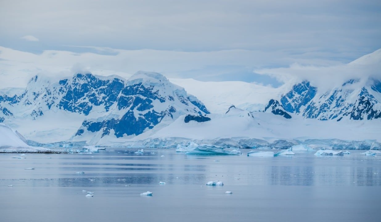
This hidden topography has remained without any historical record until now, sheltered beneath the planet’s thickest ice sheet. East Antarctica holds such an immense volume of frozen water that, if it melts completely, it has the potential to raise ocean levels by more than 50 meters globally. The newly mapped relief works as a physical guide for ice movement, where rocky ridges dictate the direction of glacier flow and influence the formation of isolated subglacial lakes.
The practical development of this research allows the scientific community to create much more accurate models about the stability of the polar ice cap. If ice begins to flow rapidly towards the ocean through these previously unknown valleys and channels, the entire structure could quickly destabilize. Understanding these flow dynamics has become a critical factor in accurately predicting sea level rise, especially given the current scenario of accelerated global warming.
To map the bottom of the continent, researchers needed to cross-reference data from penetrating radars, gravity sensors, magnetic measurements and seismic records collected over decades. Simulations indicate that, if the immense ice load disappears, the Earth’s crust will suffer an elastic rebound effect, potentially rising up to a kilometer in height. This deep technological scan revealed a consistent geological pattern on a continental scale that had gone completely unnoticed in previous surveys.
Deep context on Antarctic geological evolution
East Antarctica has always represented a huge gap in human understanding of Earth’s geological evolution and the history of Gondwana’s breakup. Covered by an armor of ice thousands of meters thick, the continent remained isolated and inaccessible for millions of years. Identifying this new structural province helps fill in the blanks about how the supercontinent broke apart and how mysterious subglacial mountains formed in the darkness.
Interestingly, the team of experts did not start the project looking for a fan-shaped basin. The original goal of the study was simply to calculate the mathematical removal of ice weight to try to restore and visualize the original bedrock landscape. The surprising radial pattern only became evident when scientists consolidated all the information into a single integrated database, revealing the true face of the white continent.