

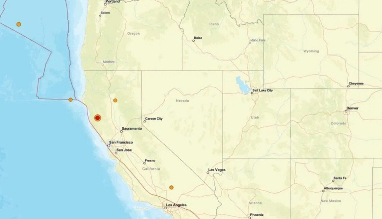
An earthquake of magnitude 5.6 shook northern California last Wednesday (24), according to data released by the United States Geological Survey (USGS). The tremor, recorded in an area known for its intense tectonic activity, moved local geological structures and reignited discussions about seismic safety in the region.
The epicenter of the telluric phenomenon was located at an estimated depth of 11 kilometers. This depth is a crucial factor that often influences the perception and damage potential of a seismic event, helping to dissipate some of the energy before it reaches the surface.
No reports of major damage after the quake
Despite the considerable magnitude, residents of San Francisco Bay did not report feeling the earthquake, according to contacts made by the Reuters news agency. This initial observation suggests that the tremor may have been less noticeable in dense urban centers, due to its depth and specific epicenter.
Low awareness in large cities like San Francisco is an important indicator in the first few hours after an event. Even moderate-intensity tremors can raise concerns, but the lack of immediate reports of substantial damage brings initial relief to authorities and local residents.

California’s geological complexity and active faults
California, known worldwide for its landscape and technological centers, is located on one of the most geologically active regions on the planet. This area encompasses several major faults, such as the iconic San Andreas Fault, although the recent tremor is more linked to regional plate tectonic dynamics.
In its northernmost portion, the region is influenced by the Cascadia Subduction Zone, a vast geological structure that extends for more than 965 kilometers, reaching Canada. This zone is an active collision point between the Juan de Fuca and North American plates, constantly generating tension.
The Pacific Ring of Fire context for seismic activity
California’s geographic position on the Pacific Ring of Fire is a determining factor in the recurrence of earthquakes. This extensive horseshoe-shaped area is the scene of most global earthquakes and volcanic eruptions, marking the limits of several tectonic plates in constant movement.
The uninterrupted movement of these plates is the main cause of the intense seismic activity observed throughout the state. For this reason, residents and local authorities remain on permanent alert, with advanced monitoring systems and contingency plans, reflecting the inevitability of future events in one of the most dynamic areas on Earth.