
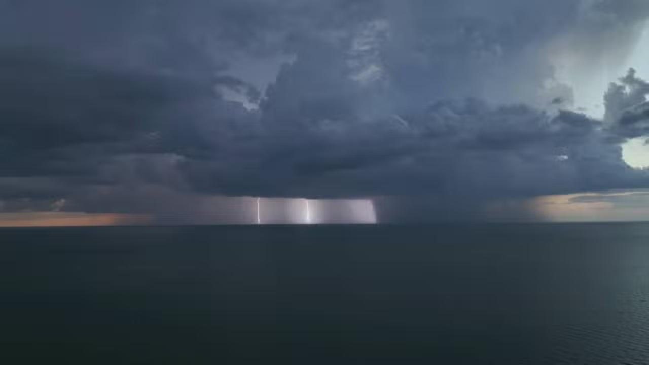
Southern coastal communities along the Gulf of Mexico face a growing hurricane threat following the organization of Tropical Storm Isaias in the southwestern basin on Wednesday (October 7). The developing tropical cyclone is projected to push northward over unseasonably warm maritime waters toward the southern coastline of the United States. Meteorological agencies warn that the system carries the potential to intensify into a Category 2 hurricane, generating sustained winds of up to 177 km/h as it nears mainland shores.
Official confirmation from the National Hurricane Center in Miami came during an early morning advisory issued at 5 a.m. local time, which corresponded to 6 a.m. in Brasília. At that point, surface instruments recorded maximum sustained winds reaching 64 km/h while the low-pressure center was charting an east-northeast trajectory at an approximate speed of 13 km/h. The tropical system represents the ninth named weather event to emerge during the 2026 Atlantic hurricane season.
Forecast models from the agency indicate that environmental conditions across the southern Gulf will foster rapid intensification over the coming hours. Official statements from the National Hurricane Center emphasized that “rapid intensification is predicted over the next day or two” as the system tracks across open water. Projections indicate that the storm center will bypass the northern tip of Mexico’s Yucatan Peninsula on Thursday (October 8), at which point it is anticipated to attain Category 1 hurricane status.
Forecast models project strengthening to Category 2 status by Friday
Current trajectory estimates place Tropical Storm Isaias on a pace to reach Category 2 intensity by Friday (October 9). Forecasters anticipate peak wind velocities reaching 177 km/h around that time, marking the highest intensity of the storm’s lifespan over the Gulf. If these projections materialize as modeled, the system will officially become the very first hurricane documented across the Atlantic basin during the entire 2026 season.
The unusually late formation of a season’s initial hurricane constitutes an extraordinary chronological gap for regional weather records. Historical archives maintained by oceanic agencies show that the Atlantic basin had not experienced such a delayed onset of hurricane activity since October 8, 1905. Atmospheric scientists attribute this prolonged lull to the persistent influence of a strong El Niño pattern, which elevated equatorial water temperatures across the Pacific Ocean while driving unfavorable upper-level winds that repeatedly suppressed tropical cyclone development in the Atlantic.
Although ocean temperatures across the southern Gulf of Mexico remain warm enough to nourish tropical convection, meteorologists are closely evaluating wind shear patterns situated across the northern reaches of the basin. This sharp variation in wind speed and direction across differing altitudes can disrupt the vertical alignment of the storm vortex. Consequently, such atmospheric shearing forces could potentially restrict the storm’s overall intensification just prior to coastal landfall.
Florida declares emergency across 25 counties as storm approaches
Confronted by the advancing system and its projected trajectory, Florida Governor Ron DeSantis signed an executive order on Tuesday (October 6) placing 25 counties under an official state of emergency. The administrative declaration specifically targets vulnerable jurisdictions throughout the Panhandle and Big Bend coastlines. This proactive legal measure allows state authorities to mobilize public assets immediately, coordinate civil defense logistics, and unlock emergency disaster funds without standard administrative delays.
State disaster relief divisions initiated logistical staging procedures on Wednesday by routing heavy stockpiles of humanitarian and emergency supplies into municipal centers such as Tallahassee and Santa Rosa. The preliminary shipments contain pallets of bottled drinking water, non-perishable food rations, industrial-capacity electrical generators, and bulk fuel reserves needed to sustain vital public utilities. Workers have also assembled mobile flood barrier systems along low-lying shorelines to minimize the hazard of oceanic surges and inland flooding.
Municipal leaders and civil protection coordinators have urged local populations across the affected counties to review their residential hurricane kits and establish communication protocols. Weather forecasting models suggest precipitation totals between 15 and 25 centimeters could inundate isolated coastal communities as the storm moves onshore. Forecasters also caution that maritime surges along the coast, combined with isolated tornadoes, pose significant threats across a geographic corridor extending from southern Louisiana through the northwestern coast of Florida.
Energy producers Shell and BP evacuate offshore Gulf platforms
The formation of Tropical Storm Isaias has likewise prompted immediate protective measures across maritime oil and gas extraction networks stationed throughout the Gulf of Mexico. Major international energy corporations, including Shell and BP, activated their comprehensive storm containment procedures and started executing preventive workforce evacuations. These measures are designed to reduce operational exposure to extreme offshore sea conditions and gale-force atmospheric disturbances.
Energy producer Shell confirmed the safe extraction and air transport of non-essential operational personnel stationed across six deepwater drilling and production platforms. Concurrently, BP implemented comparable safety guidelines by demobilizing staff from offshore installations and inspecting heavy anchoring and tension mooring systems to secure floating rigs against anticipated storm surges and violent ocean swells.
Meteorological assessment centers currently estimate that the central core of Tropical Storm Isaias will cross the coastline during a primary arrival window on Saturday (October 10, 2026). The exact point of land impact remains subject to ongoing revisions, as computational models maintain a broad envelope of geographic uncertainty stretching from southeastern Louisiana to the Big Bend region of Florida.