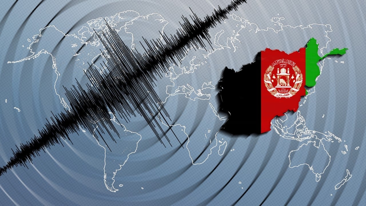
A new 5.4 magnitude earthquake struck Afghanistan on Thursday, September 4, 2025, intensifying the humanitarian crisis in a region already ravaged by recent tremors. The quake, reported by the German Research Center for Geosciences (GFZ), occurred at a depth of 10 km in the southeastern part of the country, near Kunar and Nangarhar provinces. The area, located in the Hindu Kush mountain range, lies at the collision zone of the Indian and Eurasian tectonic plates, making Afghanistan highly prone to seismic activity. This latest tremor, part of a series of quakes, complicates rescue efforts following a 6.0 magnitude earthquake on Sunday, August 31, which killed over 1,400 people and injured 3,100. Poorly constructed buildings and rugged terrain exacerbate the situation, as rescue teams struggle to reach isolated villages.
Afghanistan faces a wave of tremors that underscore its geological and social vulnerabilities. The sequence of quakes, including a 5.2 magnitude tremor on Tuesday, September 2, reflects the region’s tectonic instability. Local authorities and humanitarian organizations warn of potential additional casualties as the country grapples with recovery from the recent tragedy.

- Key impacts of the 5.4 magnitude earthquake:
- Occurred at 10 km depth, intensifying damage to fragile structures.
- Affected rural areas of Kunar and Nangarhar, already hit by prior quakes.
- Hindered rescue operations due to landslides and limited access.
Seismic activity in the Hindu Kush
The Hindu Kush region, where the 5.4 magnitude quake was recorded, is a seismic hotspot due to the collision of the Indian and Eurasian tectonic plates. This geological interaction causes frequent shallow tremors, often less than 70 km deep, which are highly destructive. Thursday’s quake, though less severe than Sunday’s magnitude 6 event, struck at a critical moment when rescue teams were still searching for survivors in collapsed buildings. The Afghan Red Crescent Society reported that many victims remain trapped, and the death toll may rise as remote areas are reached.
Afghanistan’s seismic history reveals a pattern of disasters. In 2022, a 6.1 magnitude earthquake killed over 1,000 people, and in 2023, tremors in Herat left 1,500 dead, according to UN data. The recurrence of seismic events highlights the vulnerability of villages built with mud bricks and wood, which are ill-equipped to withstand intense shaking.
Local conditions amplify destruction
Afghanistan’s geography and infrastructure worsen the impact of earthquakes. Clay and sandy soils, common in Kunar and Nangarhar, are prone to liquefaction during tremors, undermining building stability. Many homes in the region are constructed from mud bricks without concrete foundations or metal reinforcements, making them susceptible to collapse. Mountainous terrain, combined with landslides, blocks roads and isolates communities, hampering rescue efforts.
- Factors intensifying destruction:
- Fragile buildings made of mud and wood.
- Unstable soils prone to liquefaction during quakes.
- Rugged geography limiting access to villages.
- Lack of earthquake-resistant building codes.
The shallow depth of the earthquake, at just 10 km, amplified the damage, as the energy released reaches the surface with greater force. Afghan authorities reported that helicopters and military units were deployed, but logistical challenges persist due to limited infrastructure.
Rescue efforts amid chaos
Rescue operations face significant obstacles. Following the magnitude 6 quake that destroyed entire villages, emergency teams were already stretched thin. The new 5.4 magnitude tremor, though less deadly, complicated efforts, particularly in rural areas where landslides have blocked roads. Afghanistan’s Ministry of Defense reported 40 flights to transport the injured and deceased, but the lack of equipment and rugged terrain slows progress.
Humanitarian organizations, including the Red Crescent and the UN mission in Afghanistan, have intensified operations. The UN deployed teams to provide emergency aid, including drinking water and temporary shelters. However, the harsh winter and the destruction of health centers and schools increase risks for the population, particularly children, who make up the majority of victims.
Afghanistan’s vulnerability to disasters
Afghanistan faces a combination of factors that make it particularly susceptible to natural disasters. Beyond intense tectonic activity, the country grapples with decades of conflict, extreme poverty, and reliance on international aid. The Taliban’s return to power in 2021 reduced access to humanitarian funds, hindering infrastructure rebuilding. Remote villages like those in Kunar lack basic services, worsening the consequences of quakes.
- Elements increasing vulnerability:
- Decades of political and economic instability.
- Dependence on international humanitarian aid.
- Poor infrastructure in rural areas.
- High population density in seismic risk zones.
The humanitarian crisis, already worsened by recent floods and droughts, has reached alarming levels with the series of earthquakes. UNICEF reported that 96,000 children were affected by earlier tremors in 2023, and the latest quake is expected to increase this number. The organization is calling for more resources for healthcare, clean water, and sanitation as families face winter in makeshift tents.
History of devastating quakes
Afghanistan has a long history of deadly earthquakes, particularly in the Hindu Kush region. The collision of the Indian and Eurasian plates creates a highly active seismic zone with frequent tremors. In April 2025, a 5.6 magnitude quake struck the same region at a depth of 121 km, causing limited damage due to its greater depth. However, Sunday’s magnitude 6 quake, centered 42 km from Jalalabad, was among the deadliest since 2022, leveling entire villages.
- Notable earthquakes in Afghanistan:
- 2022: Magnitude 6.1, over 1,000 dead.
- 2023: Herat, magnitude 6.3, 1,500 dead (UN).
- August 2025: Magnitude 6.0, over 1,400 dead.
- September 2025: Magnitude 5.4, damages still under assessment.
The recurrence of quakes in short intervals underscores the need for preventive measures, such as stricter building codes and advanced geological monitoring. GFZ experts warn that the region may face further tremors due to ongoing tectonic pressure.