

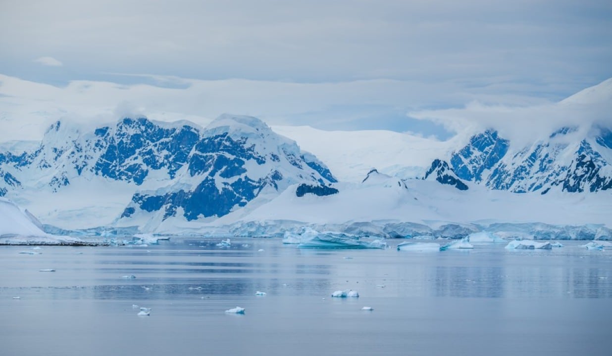
Scientists have identified a huge geological structure hidden beneath the East Antarctic ice sheet. Composed of around 30 interconnected basins that open in a radial pattern from a point close to the South Pole, the province covers an area on a continental scale.
The discovery, published inNature Geoscience, was led by geophysicist Egidio Armadillo, from the University of Genoa, in international collaboration. The researchers named the region the East Antarctic Fan-Shaped Basin Province (EAFBP). It stretches for hundreds of kilometers, bordered on the west by the Gamburtsev Mountains and on the east by the Transantarctic Mountains.
Formation linked to the breakup of the supercontinent
The structure does not result from random glacial erosion, but from a tectonic process of intraplate rotational extension. This mechanism occurred before the fragmentation of the supercontinent Gondwana, probably at the end of the Mesozoic or transition to the Cenozoic, around 150 million years ago. The fan geometry, with radially aligned V-shaped basins, created a zone of weakness that influenced the separation between Antarctica and Australia.
Scientists observed that the resulting passive continental margins have a semicircular shape compatible with the onshore pattern. Circular transverse faults segment the region, and rotational movement also affected the Transantarctic Mountains, causing rotation of around 20 degrees in one of the blocks.
Impact on glacial flow and future predictions
This buried topography is not just a historical record. As the basins underlie about half of the East Antarctic ice sheet — the largest on the planet, with a volume capable of raising global sea levels by tens of meters if it melted — they guide the movement of the ice. The rocky relief directs the flow of glaciers and the formation of glacial trenches.
What changes in practice:Better understanding this structure allows for more accurate models of ice stability. This is crucial for sea level rise projections, especially in global warming scenarios, as the irregular bed can accelerate or stabilize runoff in different sectors.
The researchers combined ice-penetrating radar, gravity, magnetism and seismic data with reconstructed topography accounting for isostatic rebound — the land beneath the ice would rise up to a kilometer if the mantle disappeared. The analysis revealed a coherent pattern on a continental scale that had gone unnoticed in previous surveys.
Greater context in Antarctic geology
East Antarctica represents a significant gap in understanding the evolution of the Earth’s crust and the history of Gondwana. With the ice reaching thousands of meters thick in some places, the continent remained isolated for millions of years. This new province helps fill in gaps about continental rifting and non-compressive mountain formation.
The team was not initially looking for a fan structure. The focus was to reconstruct the subglacial landscape without the weight of ice. The observation of the radial pattern emerged from integrated data analysis.