

Meteorological experts are monitoring the formation of a new cyclone which, combined with a cold front, is expected to change weather conditions in several Brazilian locations between June 28th and 30th. This system begins its organization in the region of Argentina, Paraguay and Bolivia at the end of Saturday (27), with a projection of displacement towards the Central-West and South of Brazil, increasing the chances of instability and precipitation.
According to climate model estimates, this new low pressure zone has the potential to generate dense clouds and intense rain, mainly in the states of Mato Grosso do Sul, Paraná, Santa Catarina and Rio Grande do Sul. This event manifested shortly after a powerful cyclone had acted in the South Atlantic, which was classified as a “bomb cyclone” due to the sharp decrease in atmospheric pressure.
The company MetSul indicates that the strengthening of this low pressure area has the potential to boost the creation of a cold front, which could spread unstable conditions across several parts of Brazil. An increase in cloud cover, rainfall records and abrupt fluctuations in temperatures in parts of the country are expected for the weekend of June and the beginning of next week.
The progression of this new climate system follows the occurrence of a highly intense cyclone that formed in the Atlantic Ocean. Satellite images captured a vast spiral cloud formation east of Argentina, and the cold front connected to it moved over areas of Mato Grosso, Mato Grosso do Sul, São Paulo, the Triângulo Mineiro, southern Minas Gerais and the Costa Verde region of Rio de Janeiro.
Weather experts emphasize that the newly formed cyclone is not expected to reach the same degree of intensity as the recently observed oceanic system. However, it demands constant attention, given its potential to generate significant changes in meteorological characteristics.
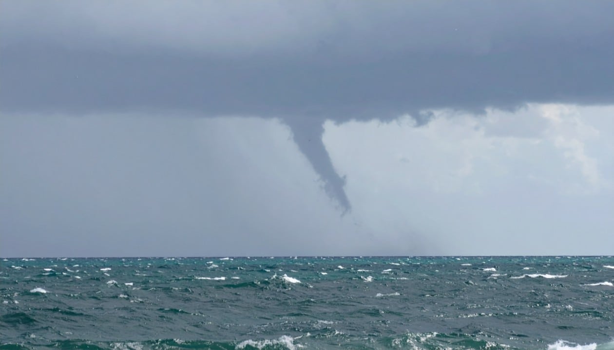
Understand the formation and impact of a bomb cyclone
The cyclone that occurred in the South Atlantic was called a bomb cyclone because it exhibited an exceptionally rapid decrease in atmospheric pressure. Meteorological records show that the pressure in the center of the system dropped from 999 hectopascals (hPa) to 971 hPa in a period of just 18 hours, which represents a reduction of 28 hPa.
A cyclonic system is called “explosive”, or bomb cyclone, when its central pressure suffers a drop of at least 24 hPa in an interval of less than 24 hours. Such accelerated intensification results in an increase in the atmospheric pressure gradient and an acceleration of the winds that surround the phenomenon.
Even with its power, experts point out that the strongest wind areas of the previous cyclone remained over the ocean, far from the Brazilian coastal strip. However, wind gusts between 40 km/h and 60 km/h were documented in some regions of southern Brazil, with records exceeding 60 km/h in mountainous areas of Rio Grande do Sul.
How thermal sensation intensifies the perception of cold
In addition to precipitation, the arrival of these weather systems can generate a more pronounced perception of cold in certain areas. The thermal sensation is what people really feel and does not always coincide with the exact value indicated by measuring devices.
This indicator is predominantly influenced by wind speed and air humidity. In scenarios of intense winds and low temperatures, the thermal sensation may be considerably below the actual temperature level measured by meteorological instruments, which highlights the importance of covering appropriately to protect your health.