Researchers confirm that asteroid formed a crater in the North Sea and caused a giant tsunami By Luís Henrique Costa
5 min read
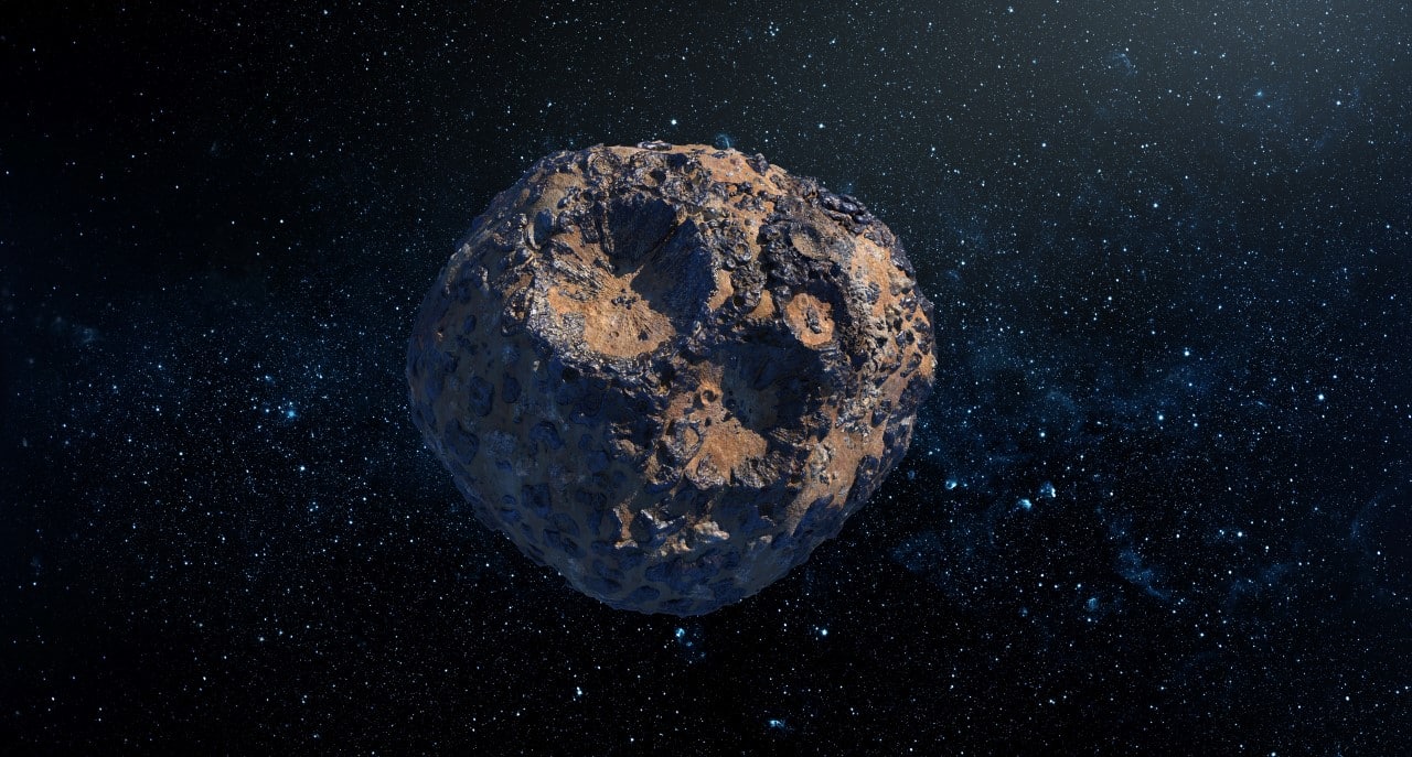 |
An asteroid measuring around 160 meters in diameter hit the region that today corresponds to Mar and Norte approximately 45 million years ago. The impact formed a complex geological structure known as crater Silverpit, located 130 kilometers off the coast of Reino Unido. The space collision generated devastating waves that swept ancient European coasts with extreme force.
The cataclysmic event remained hidden beneath the seafloor until it was initially identified in the early 2000s by oil exploration companies. Durante For more than two decades, the scientific community has debated the true origin of the formation, divided between tectonic causes and a possible extraterrestrial shock. Agora, advanced analysis of high-resolution seismic data ended the controversy and proved the spatial nature of the phenomenon. The detailed study offers new parameters for understanding planetary dynamics.
The accidental discovery under the ocean floor
The story of the identification of this geological anomaly began in 2002, during routine fossil fuel prospecting operations in the European sedimentary basin. Geólogos who analyzed seismic maps noticed a peculiar structure composed of concentric rings, with a well-defined central peak, extending almost twenty kilometers in diameter. The morphology of the area completely diverged from the usual patterns found in the region, which immediately raised suspicions about an event of unusual proportions. Inicialmente, many experts argued that the formation could be the result of the movement of underground salt layers or ancient volcanic activities that caused the land to collapse. The lack of direct physical samples from the crater core made it difficult to immediately prove the impact theory. The structure remained a geological enigma, requiring the development of new scanning technologies so that its deeper layers could be visualized with precision and clarity. The intact preservation of the site occurred thanks to the continuous accumulation of sediments over subsequent geological eras.
Currently, the crater rests under a 700-meter thick layer of mud and sand accumulated on the ocean floor. Este Protective blanket prevented natural erosion from sea currents from destroying evidence of the impact. Natural sealing has turned the area into a perfect geological time capsule.
Collision dynamics and structure formation
The exact moment of impact triggered a release of energy equivalent to thousands of simultaneous explosions. The celestial body was traveling at hypersonic speeds when it pierced the Earth’s atmosphere and reached the water surface. Extreme friction and instantaneous pressure vaporized millions of tons of water and rock in fractions of a second. The seabed was violently excavated, creating a temporary cavity of gigantic proportions before the surrounding material began to react.
Shortly after the initial drilling, the Earth’s crust responded to the mechanical stress with an elastic rebound movement. The center of the crater rose rapidly, forming the characteristic central peak that seismologists see on maps today. Simultaneamente, the edges of the cavity collapsed inward, creating the series of concentric rings that spread across the seafloor. Este The deformation and stabilization process occurred in a matter of minutes, permanently altering the region’s underwater topography. The force of the impact also melted some local rock, which subsequently cooled and solidified into impact glass, a classic signature of extraterrestrial collisions. Analysis of the geometry of these rings allowed scientists to calculate the mass and likely trajectory of the invading object. The mathematical precision of the formation reflects the exact physics of shock waves propagated through solid and liquid media.
Giant waves and changes in the coastal scenery
The abrupt disturbance of the water column generated a water displacement of unprecedented magnitude in the history of that period on the continent. Ondas over a hundred meters tall spread from the epicenter in all directions, sweeping across Mar’s former basin. The kinetic energy transferred to the ocean transformed the European coast, uprooting forests and altering the course of pristine rivers. The volume of water displaced exceeded the predictions of the first mathematical models created to study the case.
The tsunami reached deep continental areas, leaving behind chaotic sedimentary deposits that modern geologists are still trying to map. The force of the water reshaped the coastal geography in a matter of hours. The event demonstrates the destructive capacity of oceanic impacts, even when caused by intermediate-sized asteroids.
Seismic technology and scientific proof
Solving the mystery required the application of advanced three-dimensional imaging methods, led by research teams from British universities. Scientists used broadband seismic data to virtually slice the seafloor, revealing microscopic details of rock fractures. Researcher Uisdean Nicholson’s team managed to isolate the deformation signatures that only an impact at very high speed could generate. Modern equipment has made it possible to see through layers of rock with a clarity that was impossible twenty years ago.
Computer models recreated the physics of the collision step by step. The simulation confirmed that the observed features could not result from slow terrestrial geological processes.
- The mapping identified microfractures in the underlying rocks that coincide with extraterrestrial shock patterns.
- The absence of volcanic activity in the region during the period Eoceno ruled out the hypothesis of magmatic collapse.
- The three-dimensional simulation perfectly replicated the formation of concentric rings in shallow aquatic environments.
- Dating of adjacent sediments placed the geological age of the event at between 43 and 46 million years.
The integration of this evidence eliminated remaining doubts in the international academic community. The work established a new protocol for identifying submerged craters in other parts of the globe.
Implications for planetary defense
The confirmation of crater Silverpit transcends purely historical interest and provides essential data for modern space monitoring programs. Compreender How the Earth’s crust and oceans react to collisions of medium-sized celestial bodies helps space agencies calibrate their warning and risk mitigation systems. Most of the planet’s surface is covered in water, making oceanic impacts statistically more likely than continental ones. The detailed study of fractures and energy dispersion in Mar serves as a natural laboratory for planetary-scale fluid physics. The mathematical models derived from this research are already being integrated into international databases that track asteroids close to Terra. The exceptional preservation of this underwater structure allows future generations of scientists to continue extracting valuable information about celestial mechanics and the formation of our planetary system.
The global catalog of impact craters gains a fundamental addition with the definitive validation of this European site. Crossing data between marine geology and astronomy strengthens the human ability to predict the consequences of cosmic events. The ocean floor proves to be a precise and indispensable archive of the history of the solar system.