Hurricane Lala intensifies and could be the first to touch Hawaii in 34 years
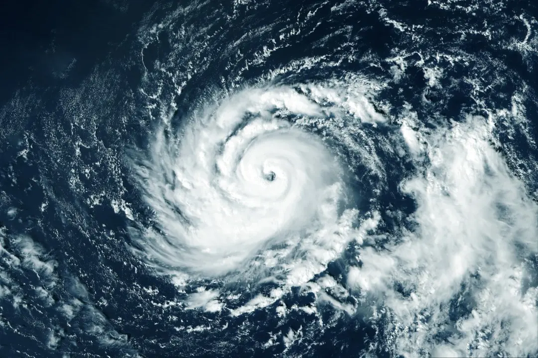
Hawaii faces the possibility of an atypical weather event with the approach of Storm Lala, which could become the first hurricane to make landfall in the archipelago in 34 years. The scenario takes place in the central region of the Pacific Ocean on August 14, 2026.
Tropical Storm Lala is progressing across the Central Pacific and has the potential to become a hurricane before reaching the Hawaiian Islands this weekend. The United States Hurricane Center has already issued a warning for the Big Island, anticipating a strengthening of the system.
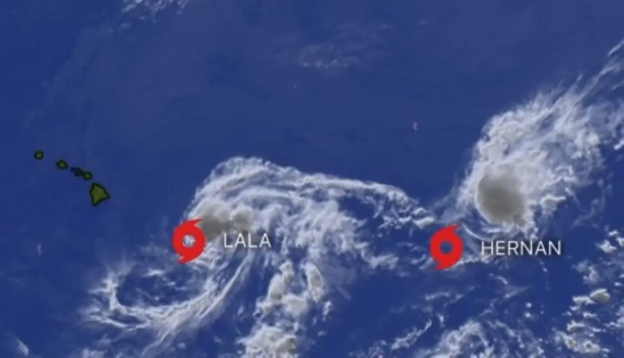
A slight change in the storm’s path can generate significantly different impacts. Projections indicate that the center of Lala could either pass directly over Ilha Grande or follow a trajectory slightly to the south, keeping the region at risk of powerful winds and torrential rain. The system is expected to continue moving west-northwest throughout the weekend, approaching Maui, Molokai, Lanai and Oahu.
The exceptionality of the situation is due to the rarity of a hurricane directly hitting Hawaii. Historical data since 1950 shows that only 19 hurricanes have passed within 100 miles of the archipelago, with only two of them officially making landfall in the state: Dot, in 1959, and Iniki, which caused great devastation in Kauai in 1992. If Lala reaches hurricane status and makes landfall, it would be the first episode of its kind in more than three decades.
Learn more: Hurricane Lala approaches Hawaii’s Big Island with storm surge warnings for Oahu and Kauai
However, the main concern goes beyond the exact point where the center of the storm could touch land. Even if Lala remains south of the islands, its effects are projected to be far-reaching across the archipelago.
The forecast indicates very intense volumes of rain, which increases the risk of sudden flooding, floods and landslides, especially on the slopes of Ilha Grande. The population must also prepare for high-speed winds, which can cause structural damage, fallen trees and interruptions to essential services.
See Also

Tragic accident during Volta de Portugal takes life of 19-year-old British cyclist

New leak details color and memory options of the expected Galaxy S26 FE

New visual indicator of online presence arrives in the WhatsApp application in testing
Maritime conditions are also expected to become extremely dangerous. Lala’s approach is generating significant swells that will mainly hit the east coasts of the islands. There is a forecast of rough seas, with a high risk of rip currents, as well as coastal erosion and flooding.
On the same topic: Unprecedented discovery: Goblin sharks are filmed in natural habitat in the deep waters of the central Pacific
A point of attention before the arrival of rain is the risk of fires. Stronger trade winds could affect areas that are still dry, temporarily increasing the chance of rapid flame spread. After this period, the ingress of moisture associated with the storm is expected to drastically alter conditions.
Although there are uncertainties regarding the exact intensity, the official scenario points to Lala strengthening into a hurricane in the vicinity of the islands. Reconnaissance aircraft are being deployed to collect more precise information about the system’s structure, strength and route. The performance of these planes is crucial, as small variations in the position of the center of the hurricane can result in very different impacts between the islands.
This episode occurs during a period of intensified tropical activity, influenced by the El Niño phenomenon. The combination of high temperatures in ocean waters and favorable atmospheric conditions contributes to an environment more conducive to the formation and increase in strength of tropical cyclones in the Central Pacific region.
Full coverage: Latest News (EN)